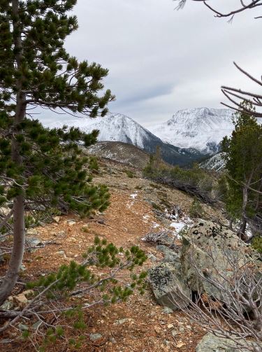
1 / 35
Chromium Creek - Emerald Lake Trail (Perkins Peak)
2 / 35
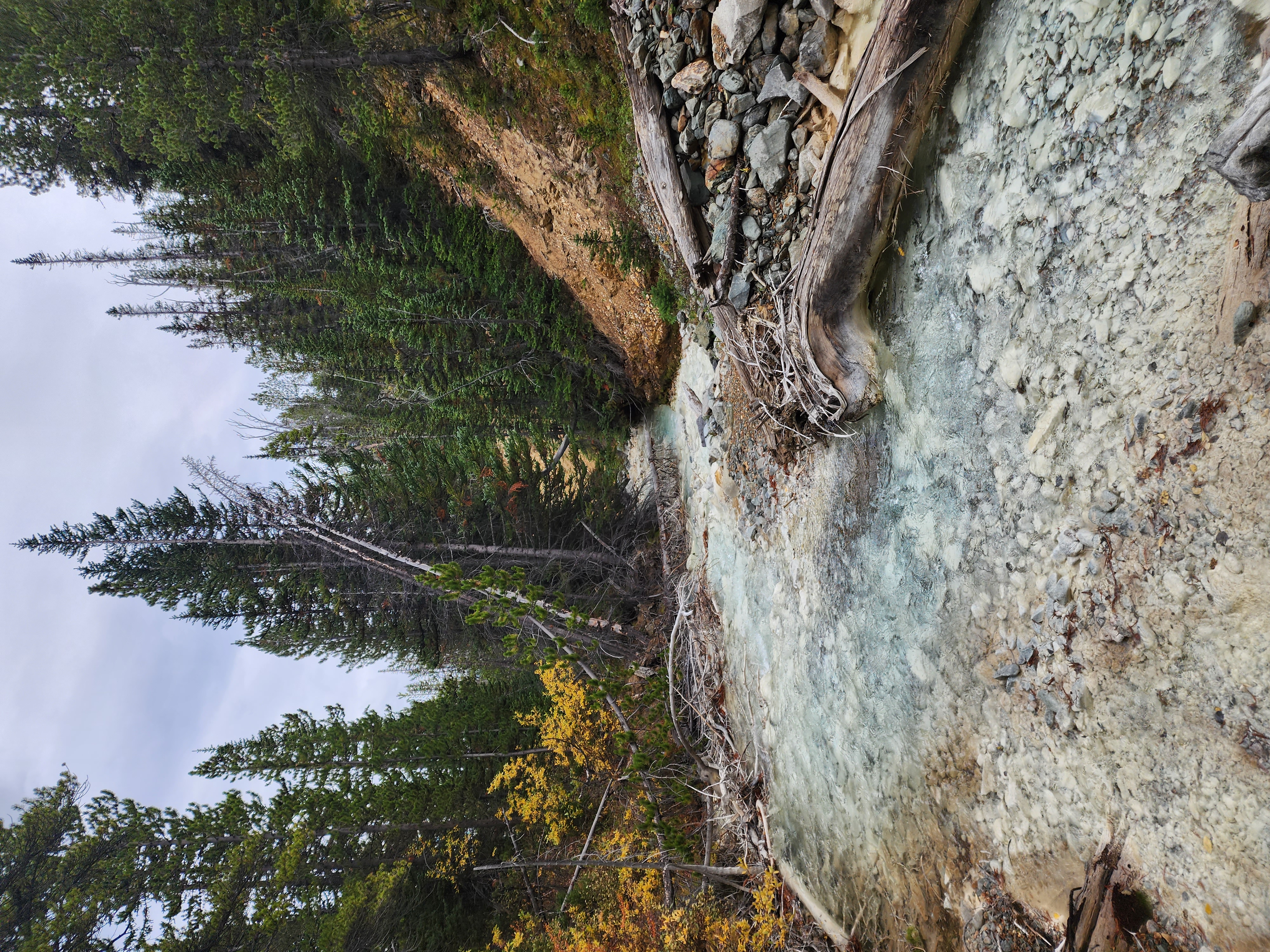
Chromium Creek - Emerald Lake Trail (Perkins Peak)
3 / 35
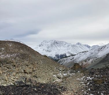
Chromium Creek - Emerald Lake Trail (Perkins Peak)
4 / 35
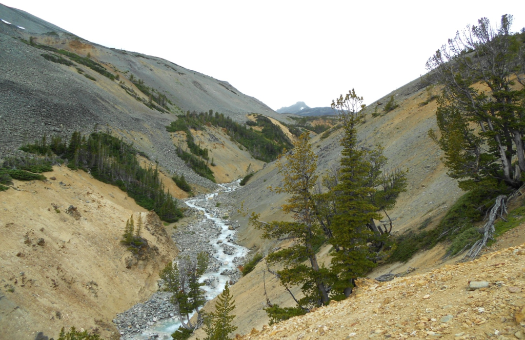
Chromium Creek - Emerald Lake Trail (Perkins Peak)
5 / 35
Chromium Creek - Emerald Lake Trail (Perkins Peak)
6 / 35
Chromium Creek - Emerald Lake Trail (Perkins Peak)
7 / 35
Chromium Creek - Emerald Lake Trail (Perkins Peak)
8 / 35
Chromium Creek - Emerald Lake Trail (Perkins Peak)
9 / 35
Chromium Creek - Emerald Lake Trail (Perkins Peak)
10 / 35
Chromium Creek - Emerald Lake Trail (Perkins Peak)
11 / 35
Chromium Creek - Emerald Lake Trail (Perkins Peak)
12 / 35
Chromium Creek - Emerald Lake Trail (Perkins Peak)
13 / 35
Chromium Creek - Emerald Lake Trail (Perkins Peak)
14 / 35
Chromium Creek - Emerald Lake Trail (Perkins Peak)
15 / 35
Chromium Creek - Emerald Lake Trail (Perkins Peak)
16 / 35
Chromium Creek - Emerald Lake Trail (Perkins Peak)
17 / 35
Chromium Creek - Emerald Lake Trail (Perkins Peak)
18 / 35
Chromium Creek - Emerald Lake Trail (Perkins Peak)
19 / 35
Chromium Creek - Emerald Lake Trail (Perkins Peak)
20 / 35
Chromium Creek - Emerald Lake Trail (Perkins Peak)
21 / 35
Chromium Creek - Emerald Lake Trail (Perkins Peak)
22 / 35
Chromium Creek - Emerald Lake Trail (Perkins Peak)
23 / 35
Chromium Creek - Emerald Lake Trail (Perkins Peak)
24 / 35
Chromium Creek - Emerald Lake Trail (Perkins Peak)
25 / 35
Chromium Creek - Emerald Lake Trail (Perkins Peak)
26 / 35
Chromium Creek - Emerald Lake Trail (Perkins Peak)
27 / 35
Chromium Creek - Emerald Lake Trail (Perkins Peak)
28 / 35
Chromium Creek - Emerald Lake Trail (Perkins Peak)
29 / 35
Chromium Creek - Emerald Lake Trail (Perkins Peak)
30 / 35
Chromium Creek - Emerald Lake Trail (Perkins Peak)
31 / 35
Chromium Creek - Emerald Lake Trail (Perkins Peak)
32 / 35
Chromium Creek - Emerald Lake Trail (Perkins Peak)
33 / 35
Chromium Creek - Emerald Lake Trail (Perkins Peak)
34 / 35
Chromium Creek - Emerald Lake Trail (Perkins Peak)
35 / 35
Chromium Creek - Emerald Lake Trail (Perkins Peak)

Chromium Creek - Emerald Lake Trail (Perkins Peak) (Tatla Lake)

HikingPicnicking

  • Rec Site #:REC6100
  • Type:User Maintained
  • Fees:None
  • Campsites:0
  • Access:Road
  • Facilities:None
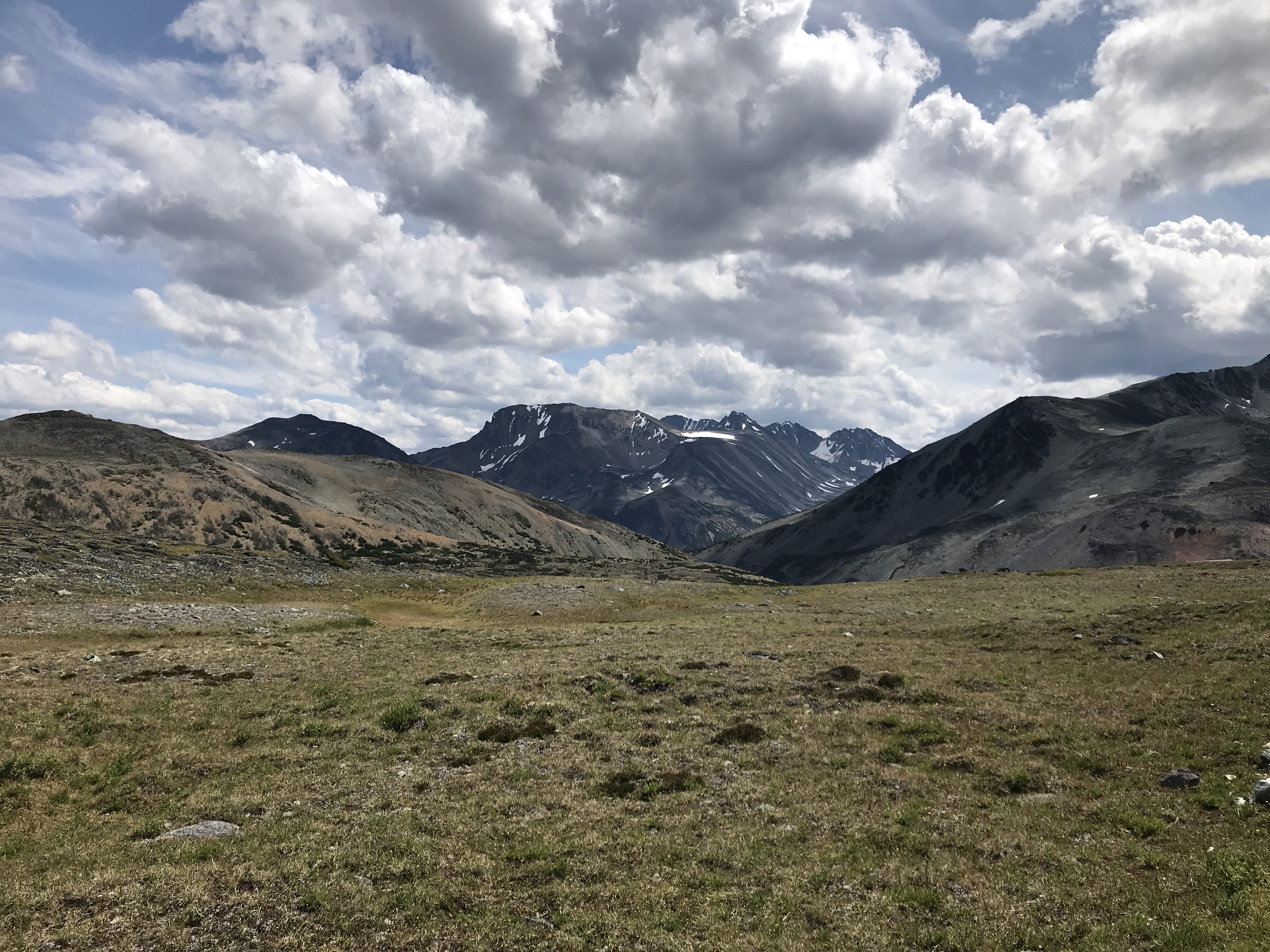
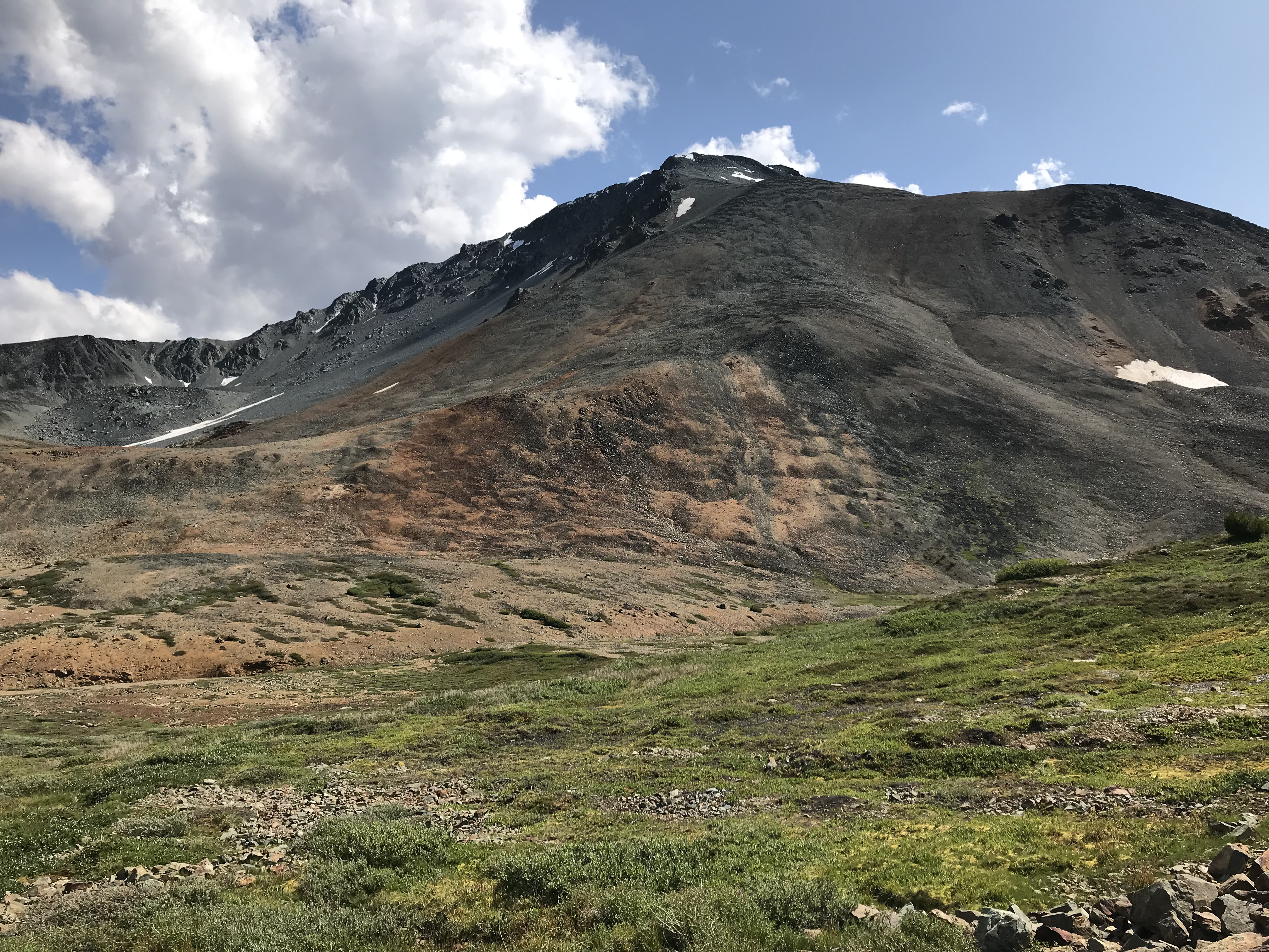
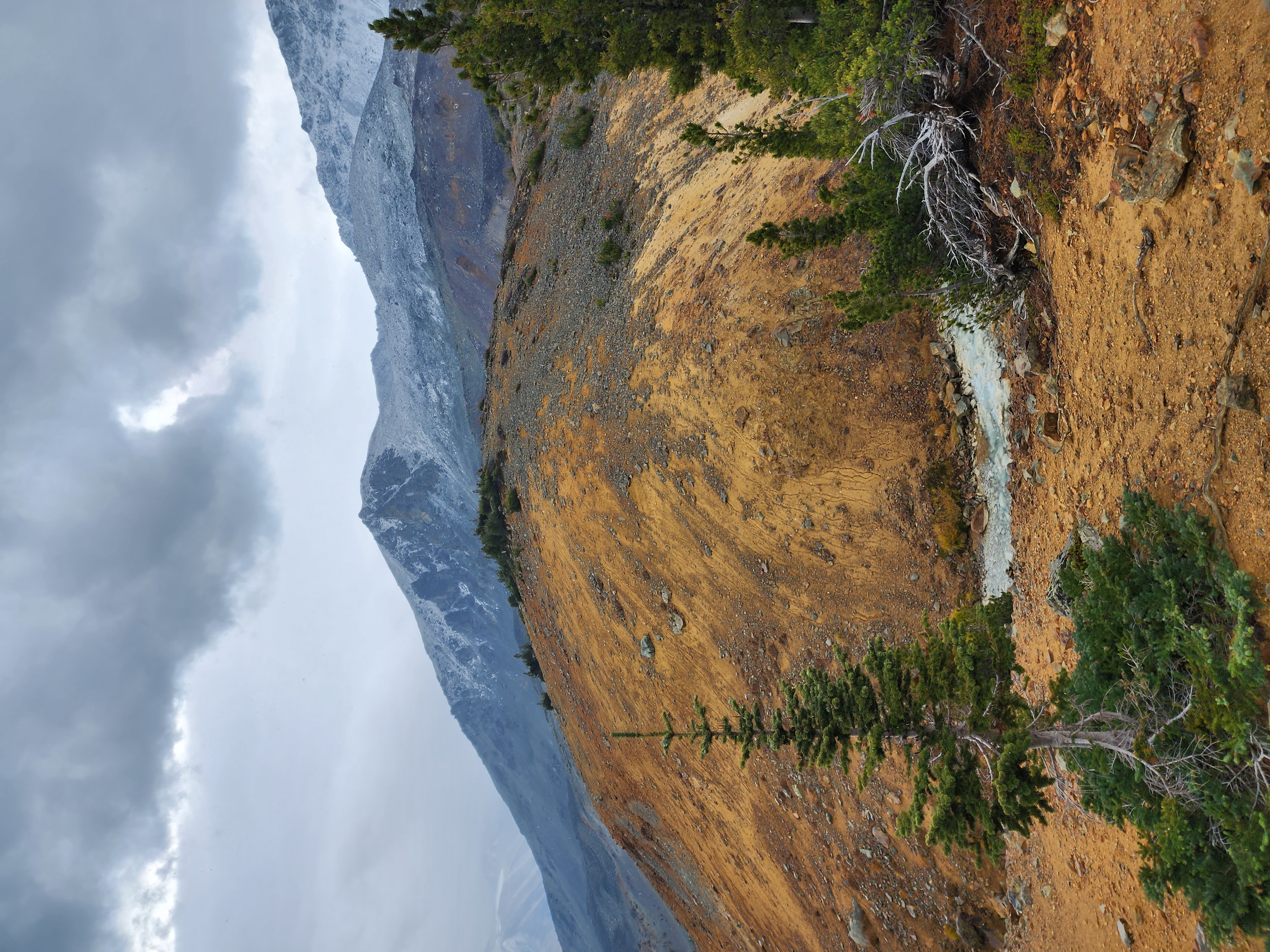
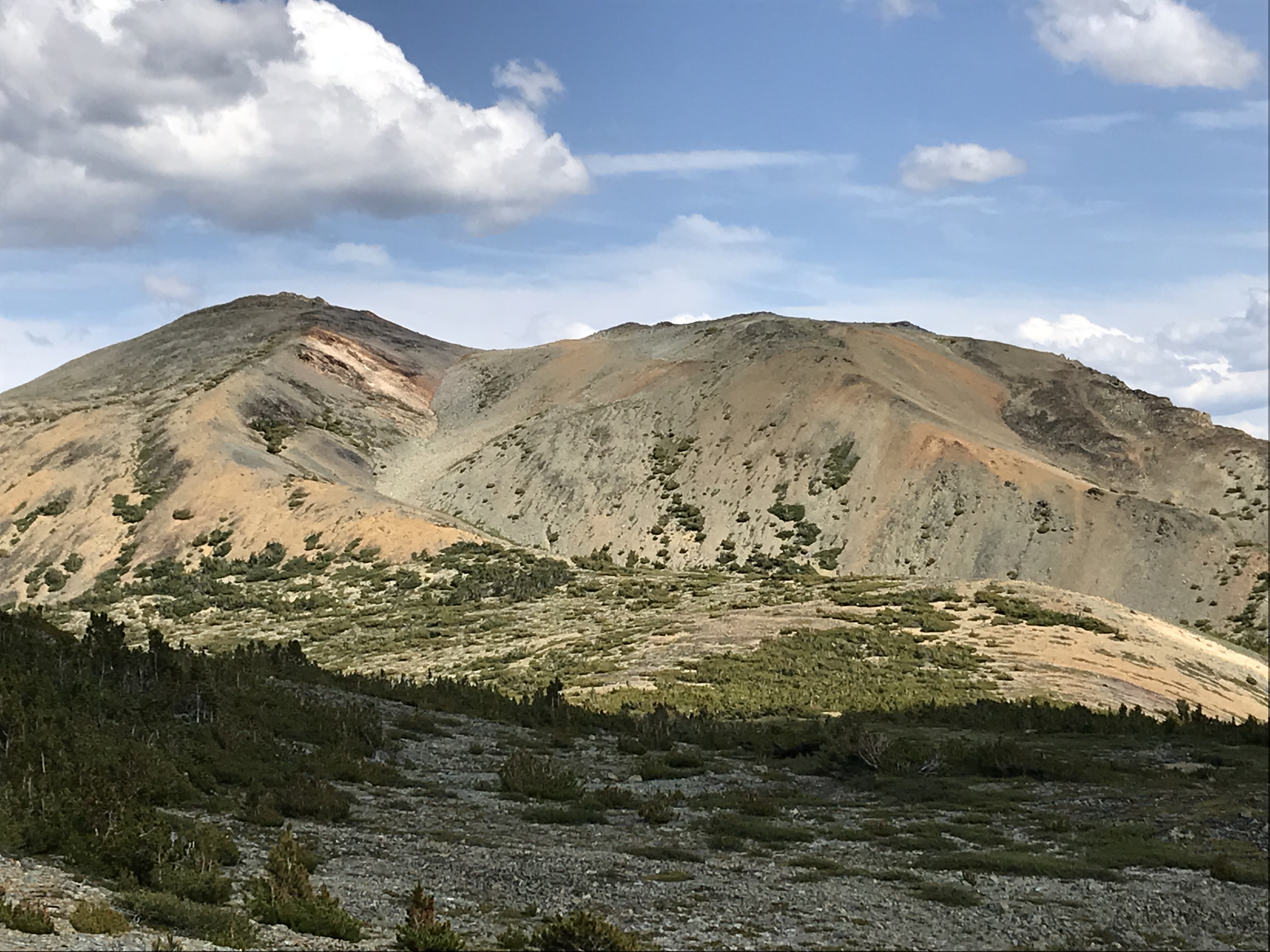
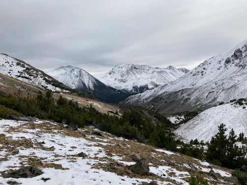
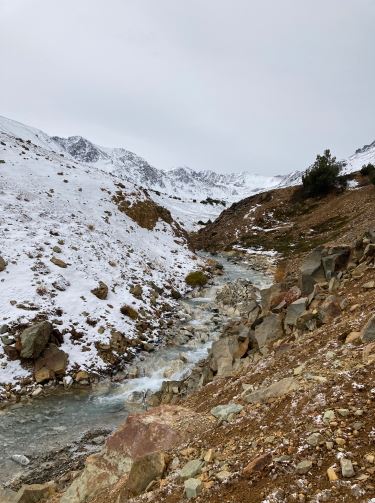
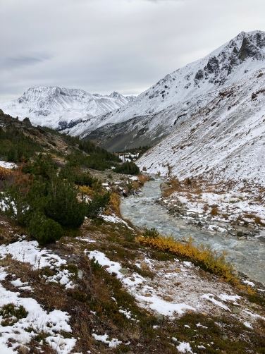
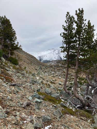
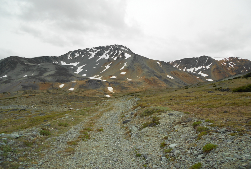
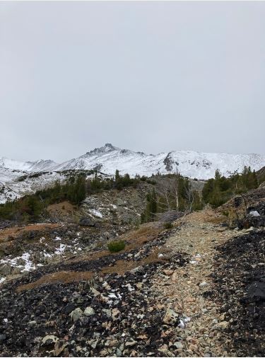
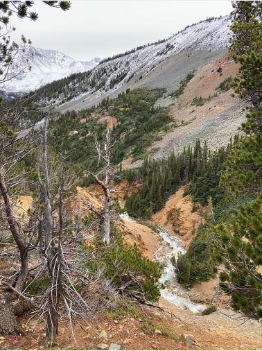
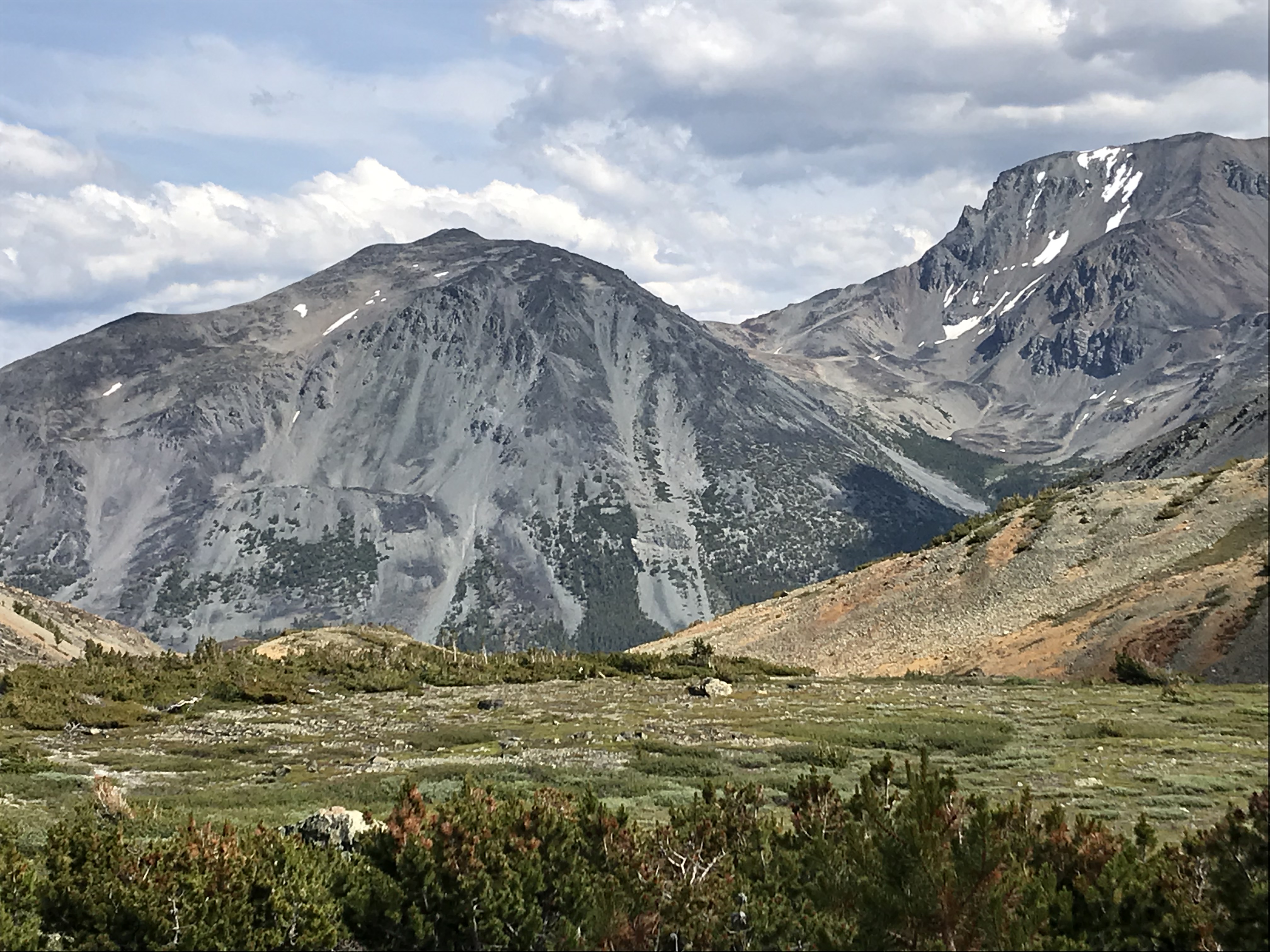
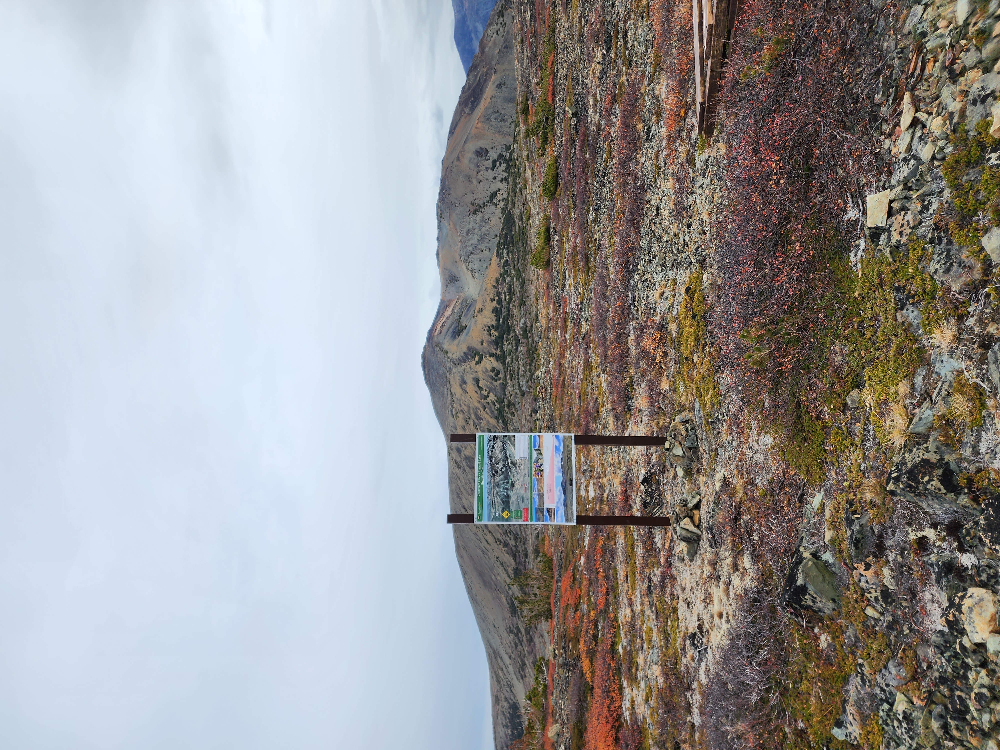
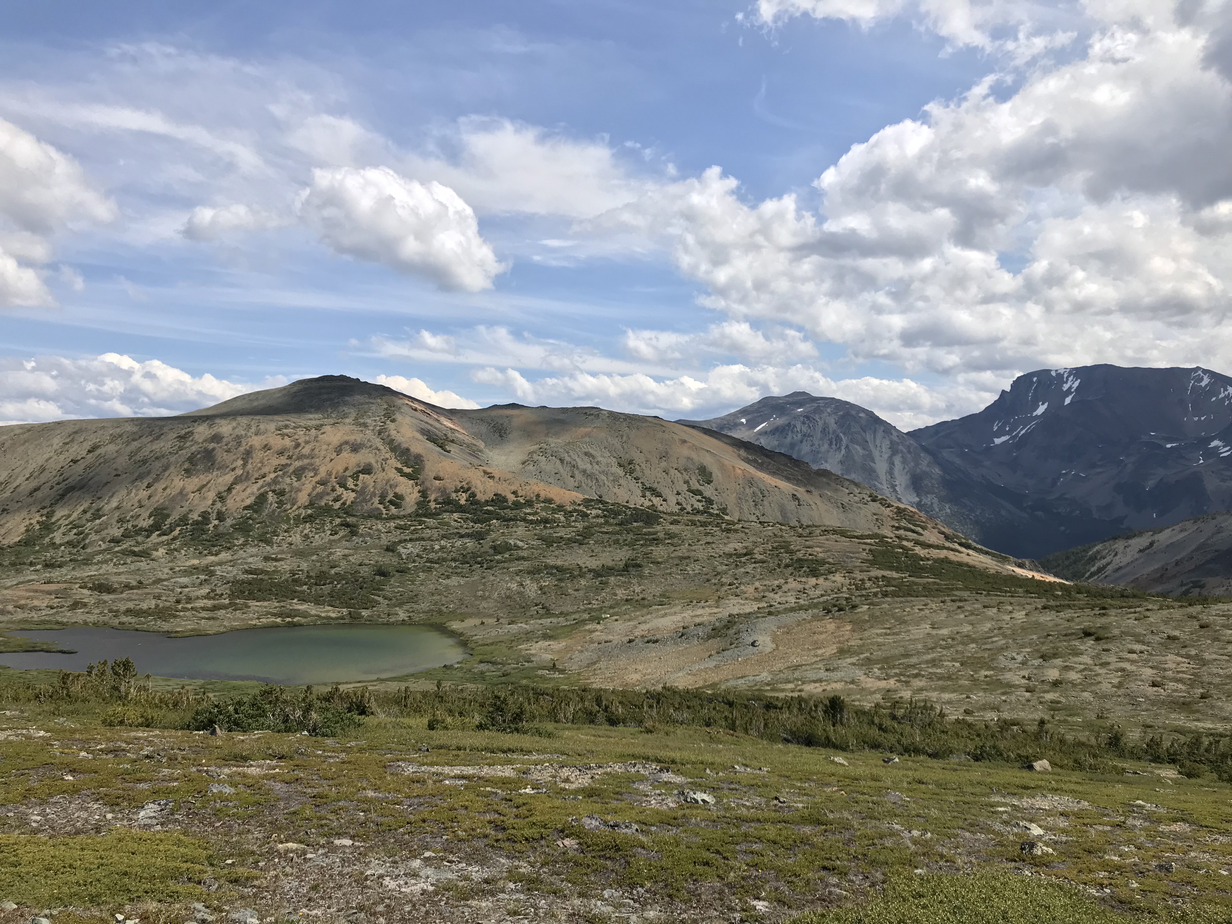
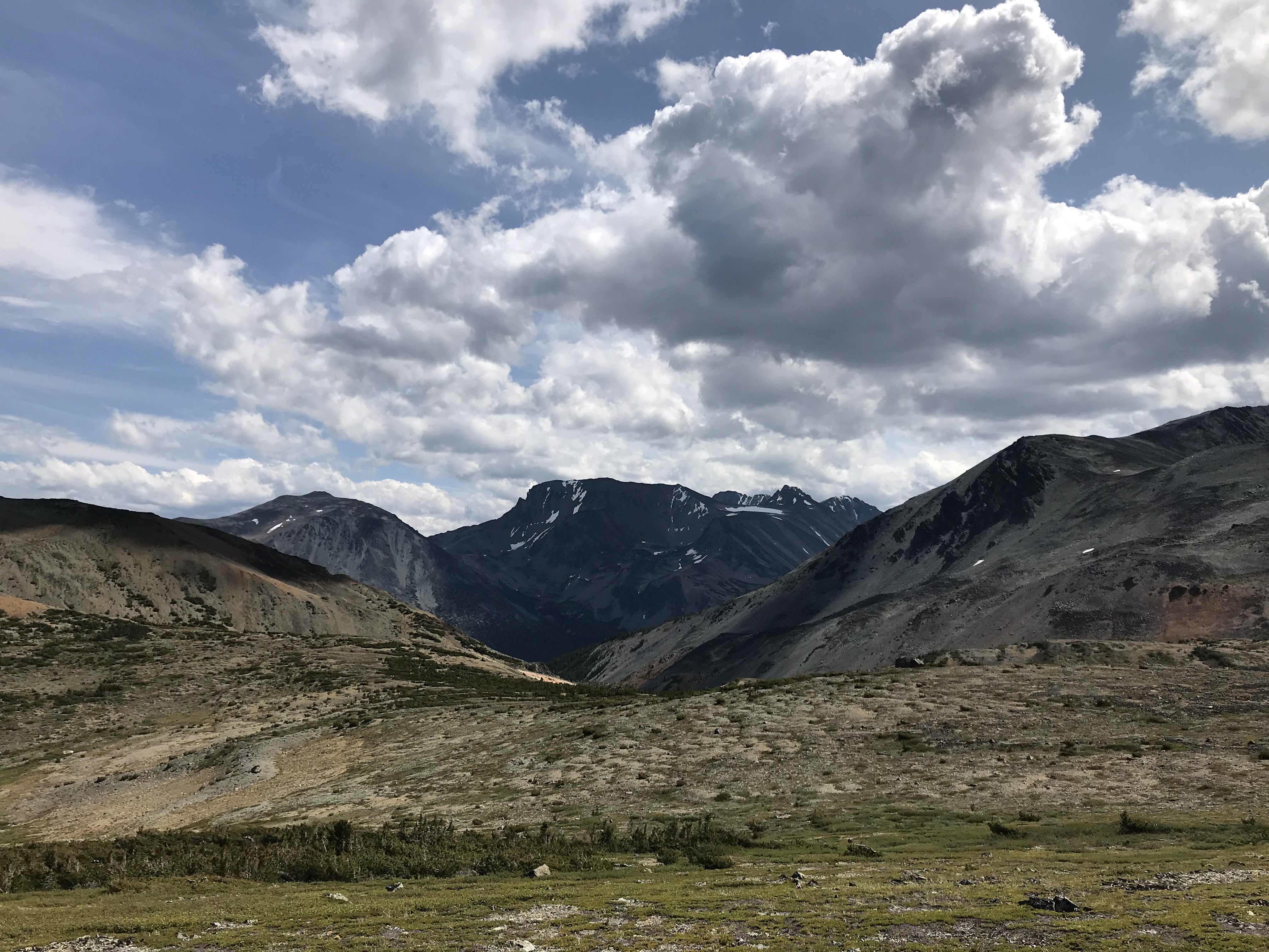
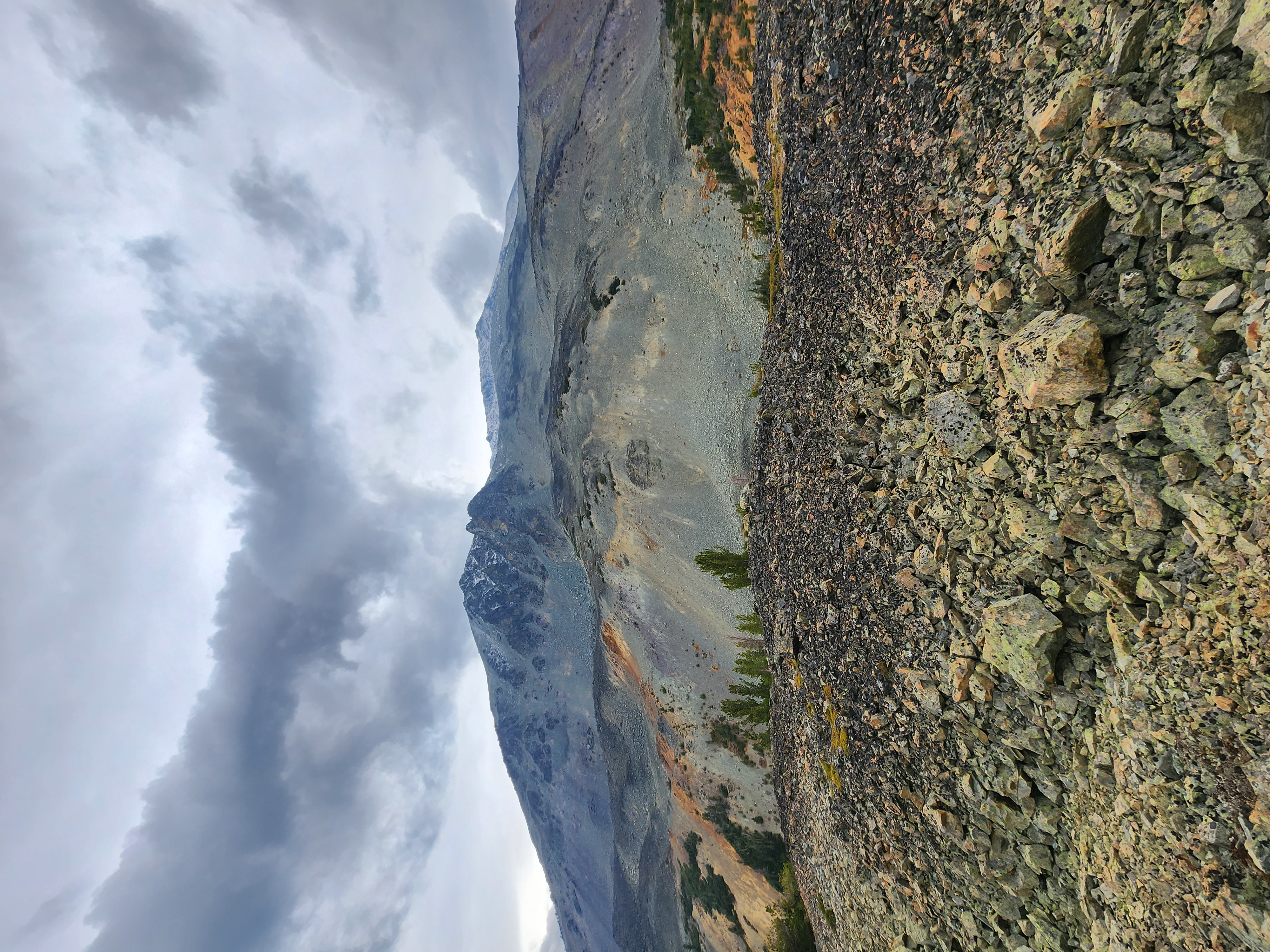
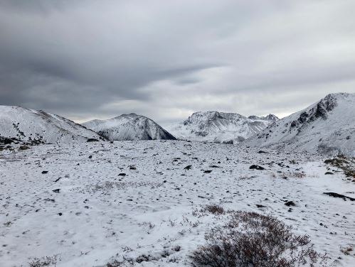
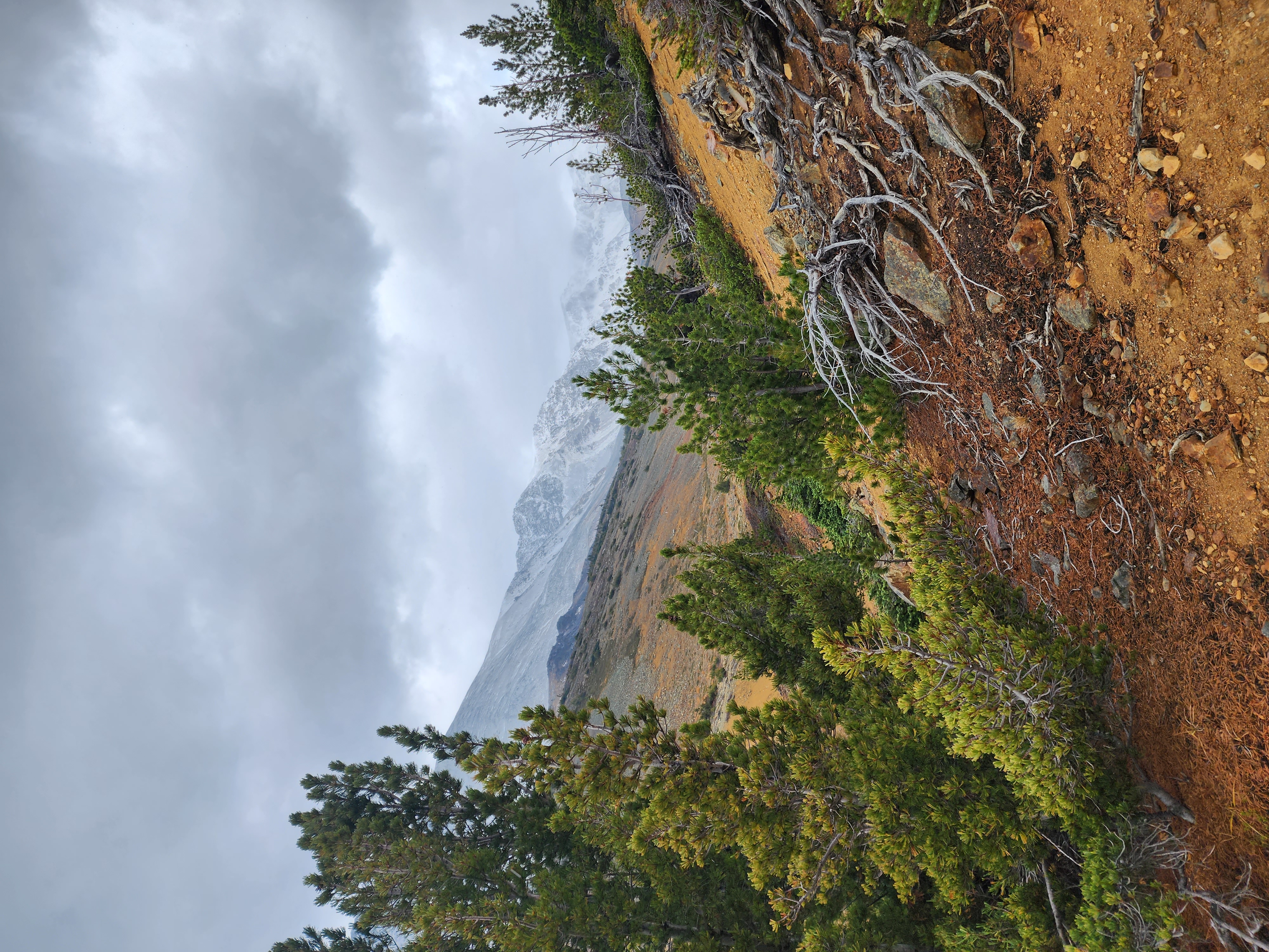
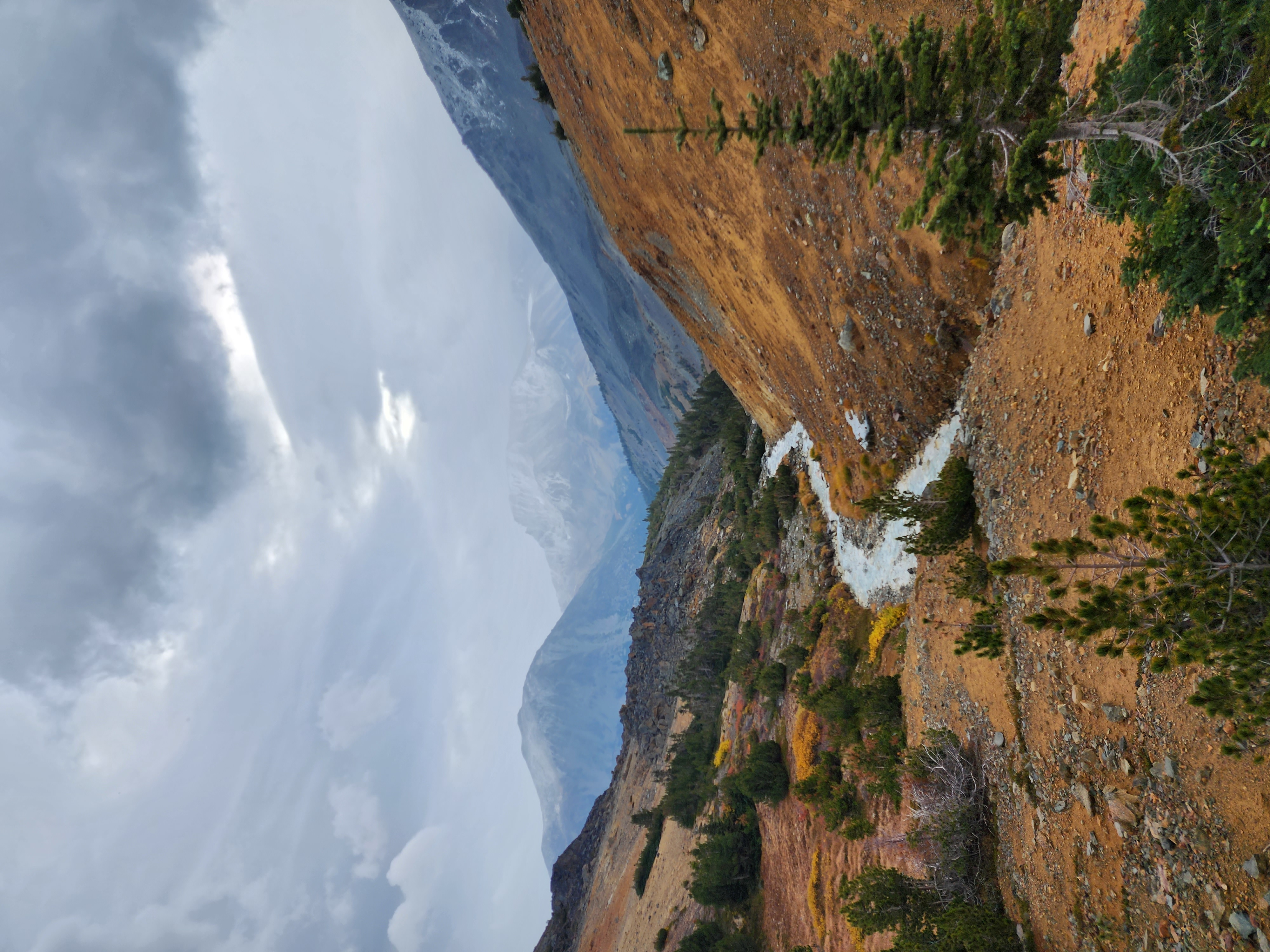
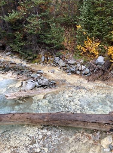
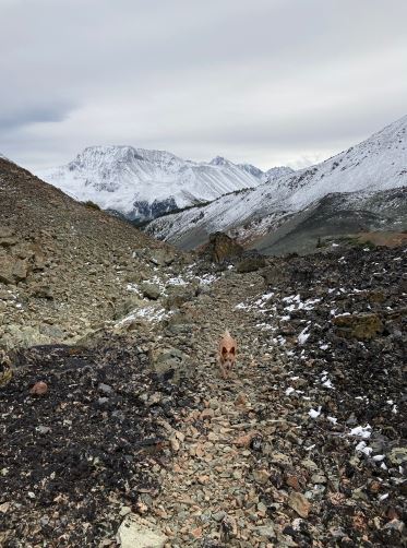
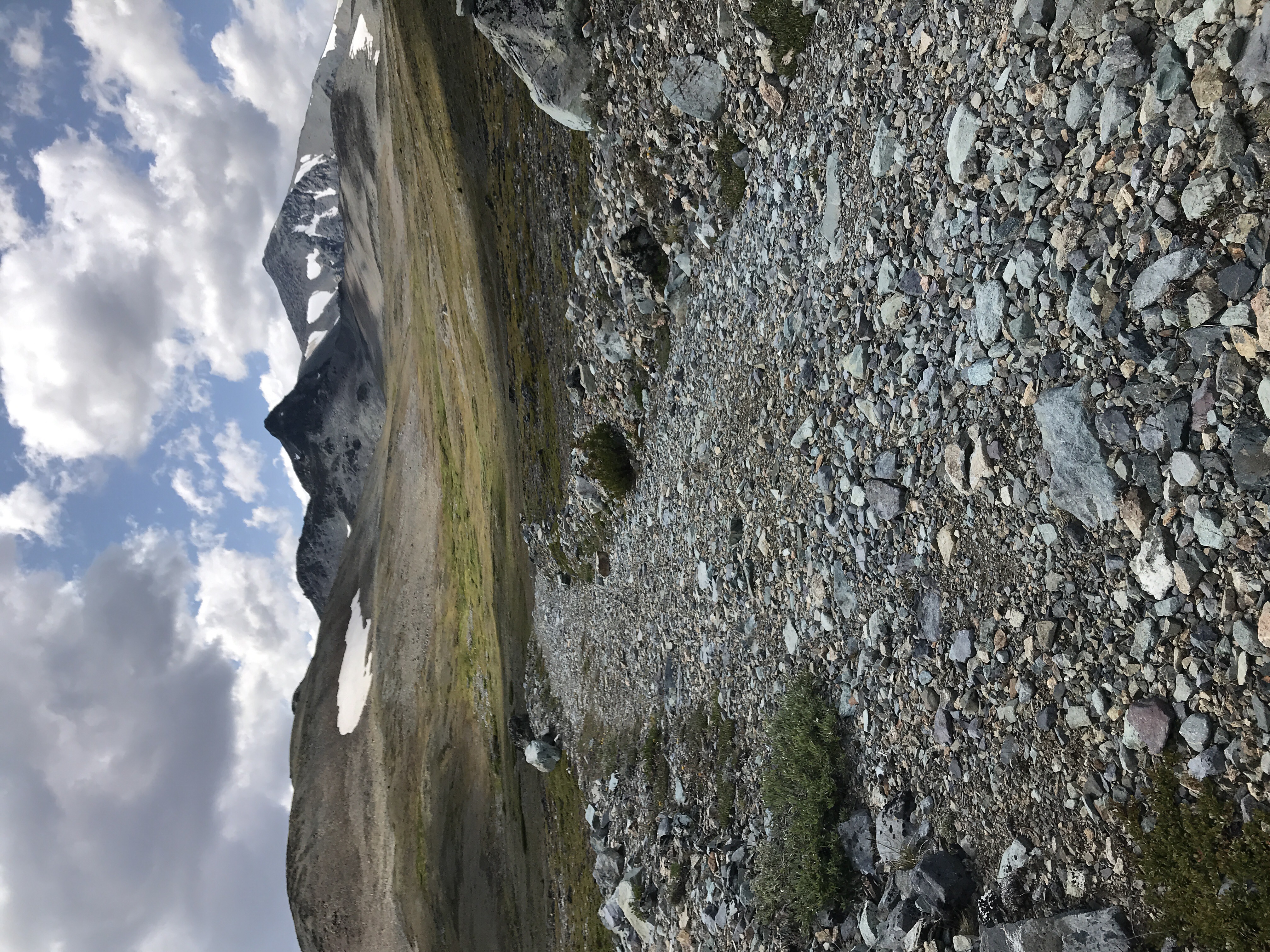
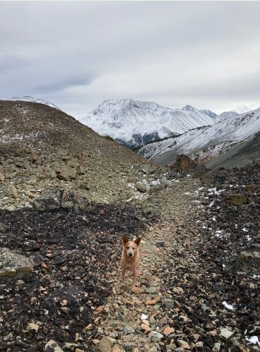
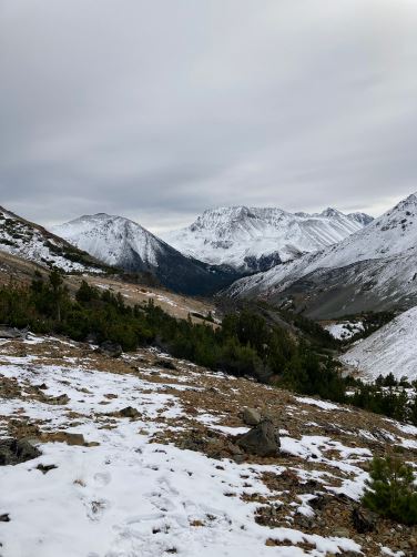
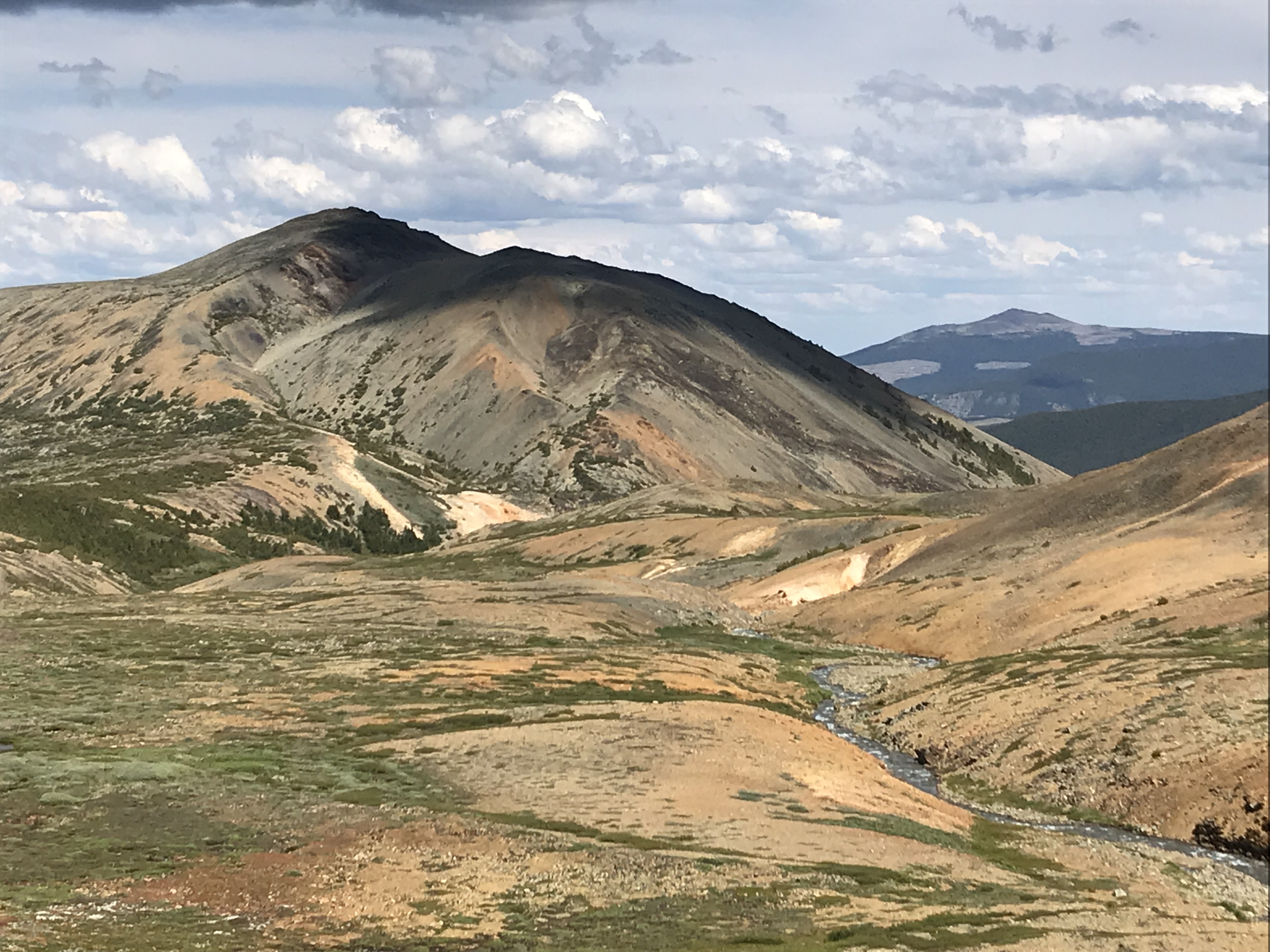
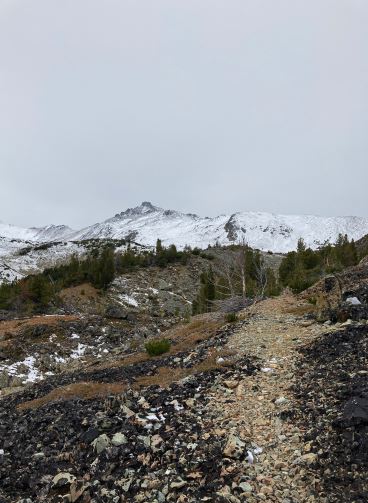
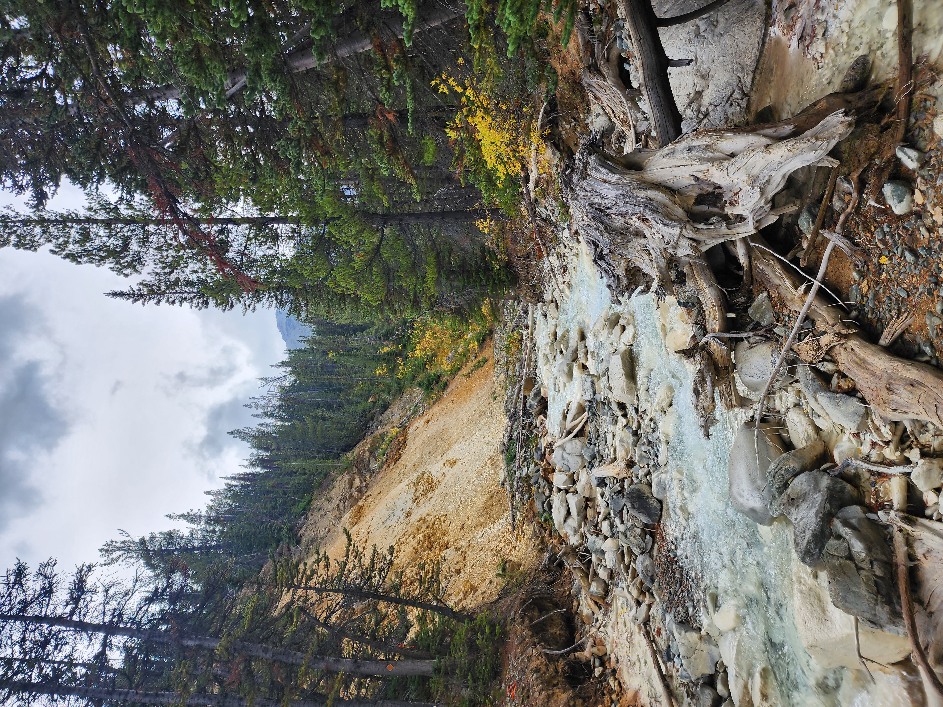
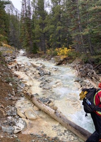
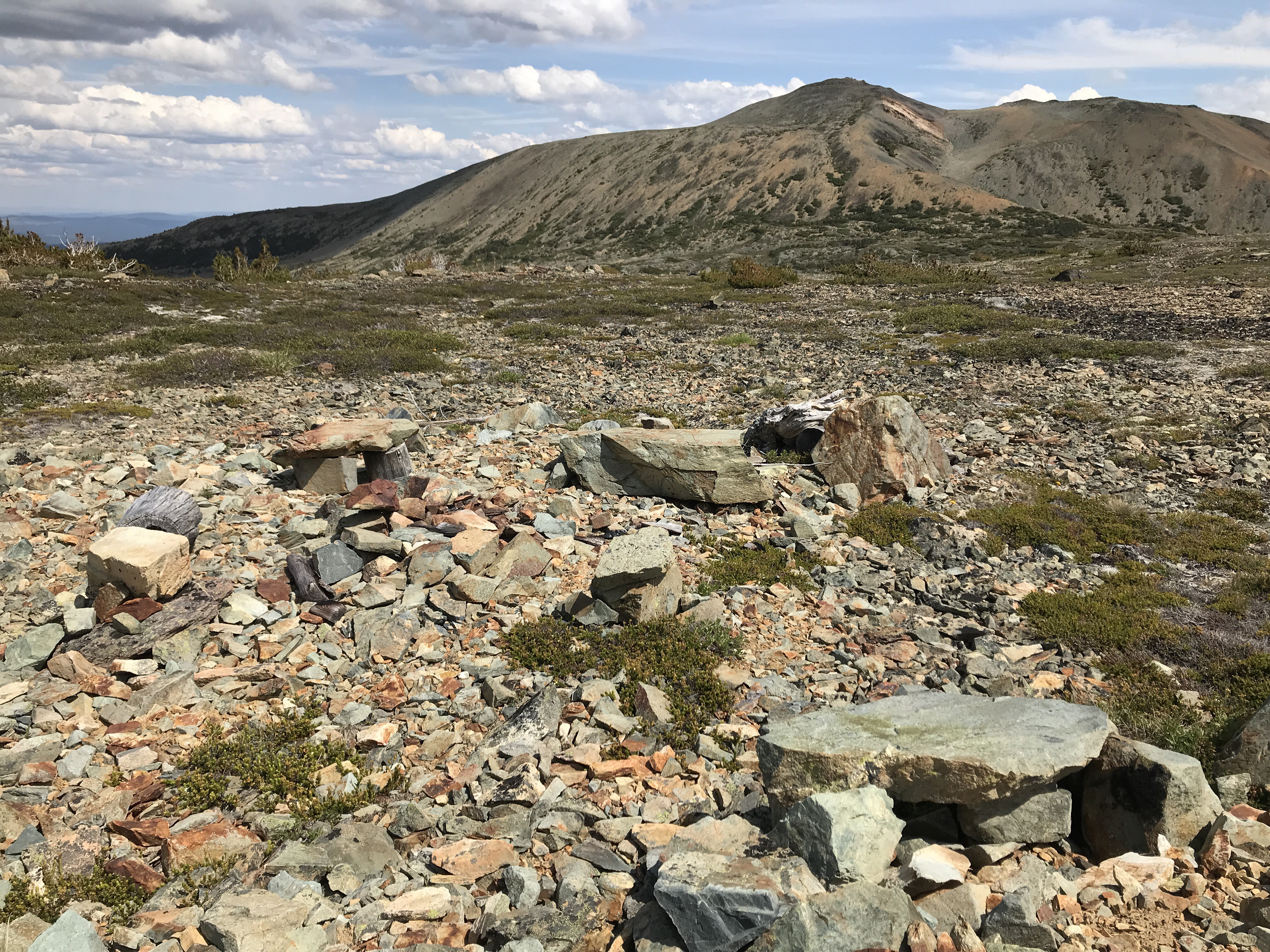
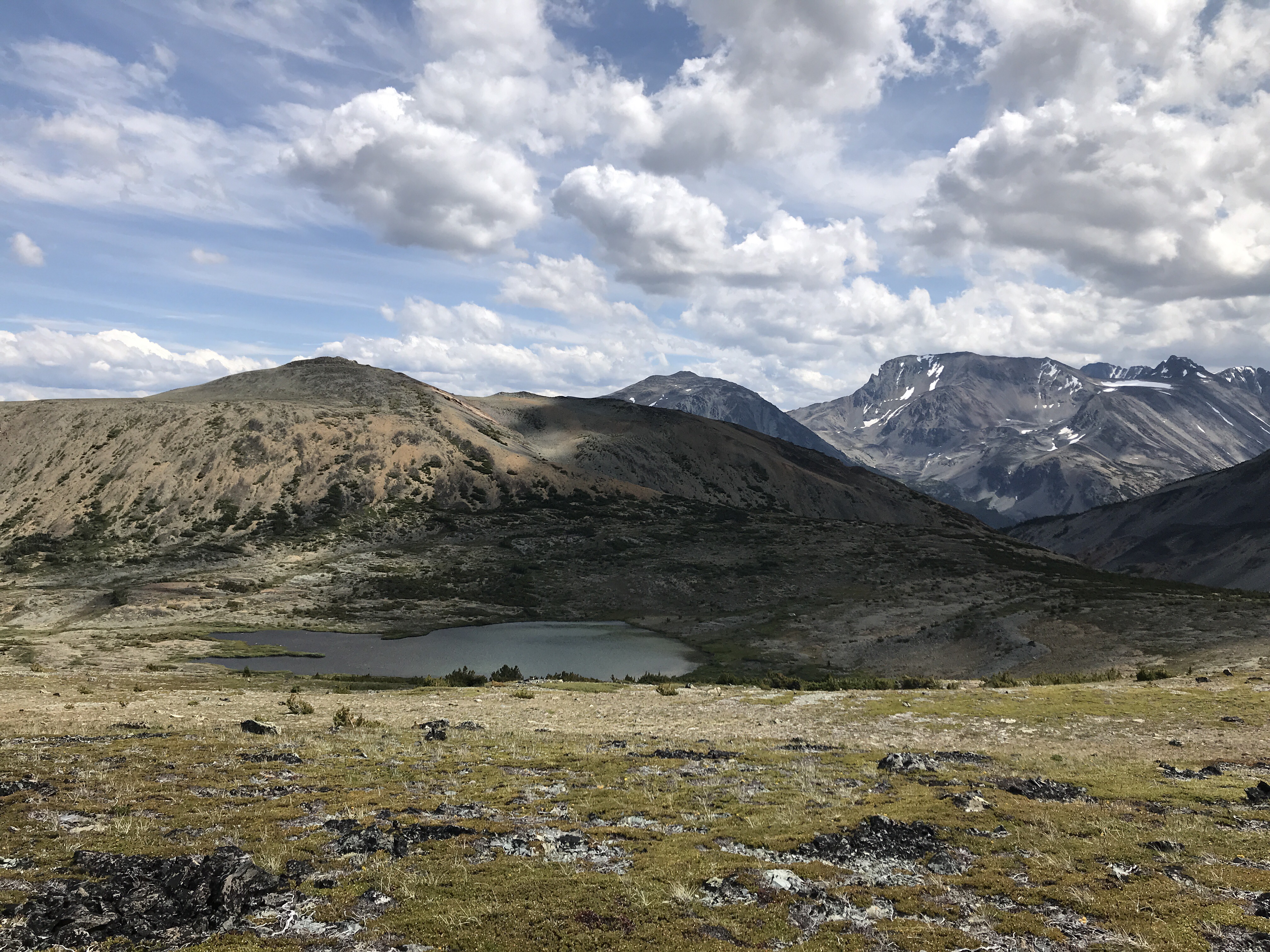
  • Site Description: The Chromium Creek Trail is located on the road to Perkins Peak, another popular destination with visitors and local residents. The Chromium Creek Trail provides hikers with access to a small secluded alpine lake with a mountain setting at the edge of the alpine. The route starts in open alpine and follows the creek down the mountain drainage to the level of the lake. The trail is 3.9 km long from the point where it leaves the road to the end at Emerald Lake. Travel time is 2 hours down and 2.5 to 3 hours back. The trail drops steadily from 2030 m to 1600 m at the lake. The trail crosses Chromium Creek at 1.5 km. The steep banks and lack of a bridge at this spot can make it difficult to cross the creek, particularly in conditions of high water. Due to the trail's remote location, the steep and uneven mountainous terrain, and the need for some route-finding where the trail becomes less obvious, this trail is recommended only for those with backcountry hiking experience.

  • Driving Directions: From the community of Tatla Lake, travel west on Hwy 20 for approximately 23 km and then turn left/south onto the Miner Lake Forest Service Road. Travel approximately 18 km and make a sharp right turn to remain on the main road up to Perkins Peak. Just past the 20 km board, stay straight. At about the 20.9 km mark keep left. Go another 400 meters and turn right, passing through 2 large boulders on either side of the road. From this point the road is very rough, narrow and slow going, and a high clearance 4x4 or ATV is recommended. Travel 3.9 km and keep left. Go another 200 meters and keep left. Go another 100 meters and turn left at the deactivated road sign. Proceed 800 meters and turn left. (The main road to the right here continues to Perkins Peak). Travel another 2.5 km along this very rocky road to the trailhead on the left side of the road, where the trail begins. There are a number of mining roads once you are up the mountain so it can be easy to take a wrong turn if you are not careful. Travel on the last section is very slow due to the rocky nature of the road. From the trail head, the trail heads toward the head of Chromium Creek through open alpine and the trail tread may not be obvious in some sections, but if you head towards the creek the trail eventually becomes more evident on the north slope above the creek.

  • Fire Bans and Restrictions:Link

View in Interactive Web Map


  • Site Maps:

Perkins-Chromium georef.pdf

 
  • Site Documents:

Chromium Creek - Emerald Lake Trail 36x40 Trailhead YAH Kiosk Sign.pdf


×

Loading your Recreation Sites...


Loading your Rec Sites... Please be patient while we load the Recreation Site/Trail Details you're looking for...